
Showing 7 top-rated hiking areas • Updated October 2026
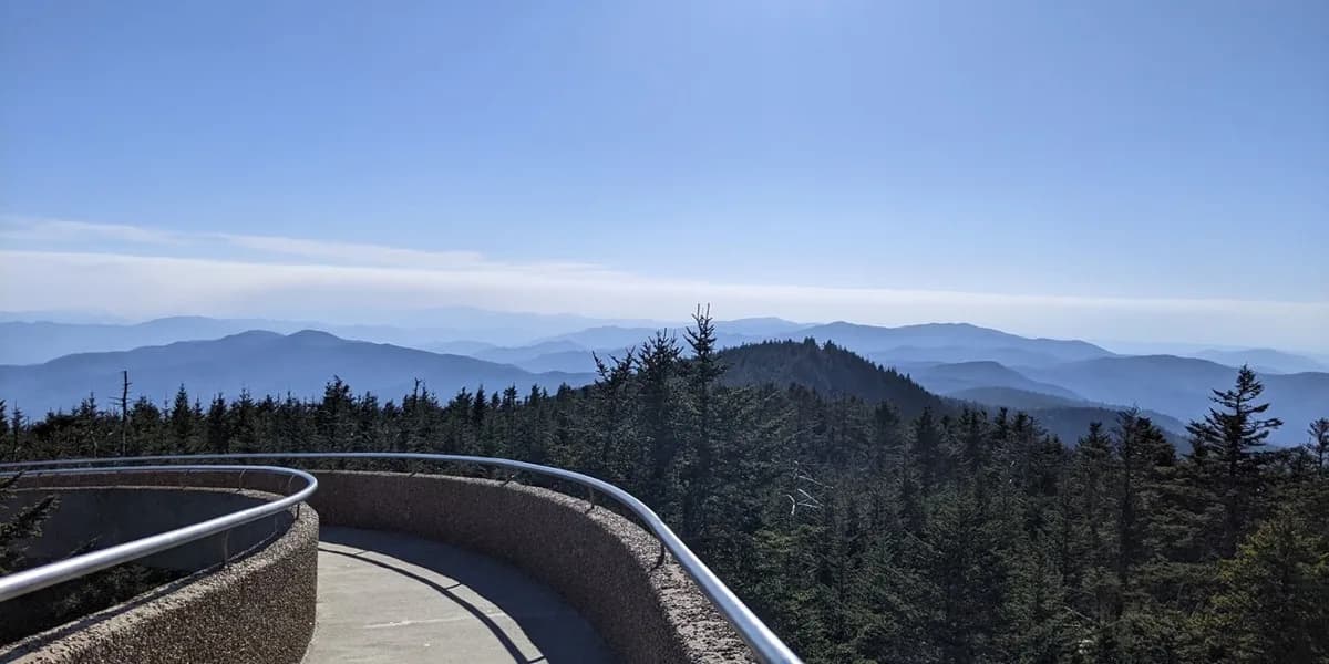
Kuwohi Trailhead
The half-mile trail to the observation tower is fully paved and lined with benches, which you'll want — it gains 337 feet at a relentless grade. Fit hikers and families with determined kids will love the 100-mile summit views, but anyone with heart or knee trouble should sit this one out. Arrive before 10 a.m. to find parking.
Bryson City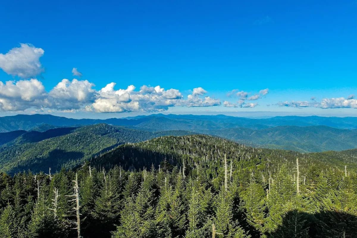
Noland Divide Trail Trailhead
Sweeping mountain and lake views at the top reward hikers for the climb on this trail. The route near Bryson City is about 5.5 miles, well maintained and quieter than many Smokies trails, with some hilly stretches. It suits photographers and moderately fit hikers. Arrive early, because the parking pullout on Lakeview Drive fills fast.
Bryson City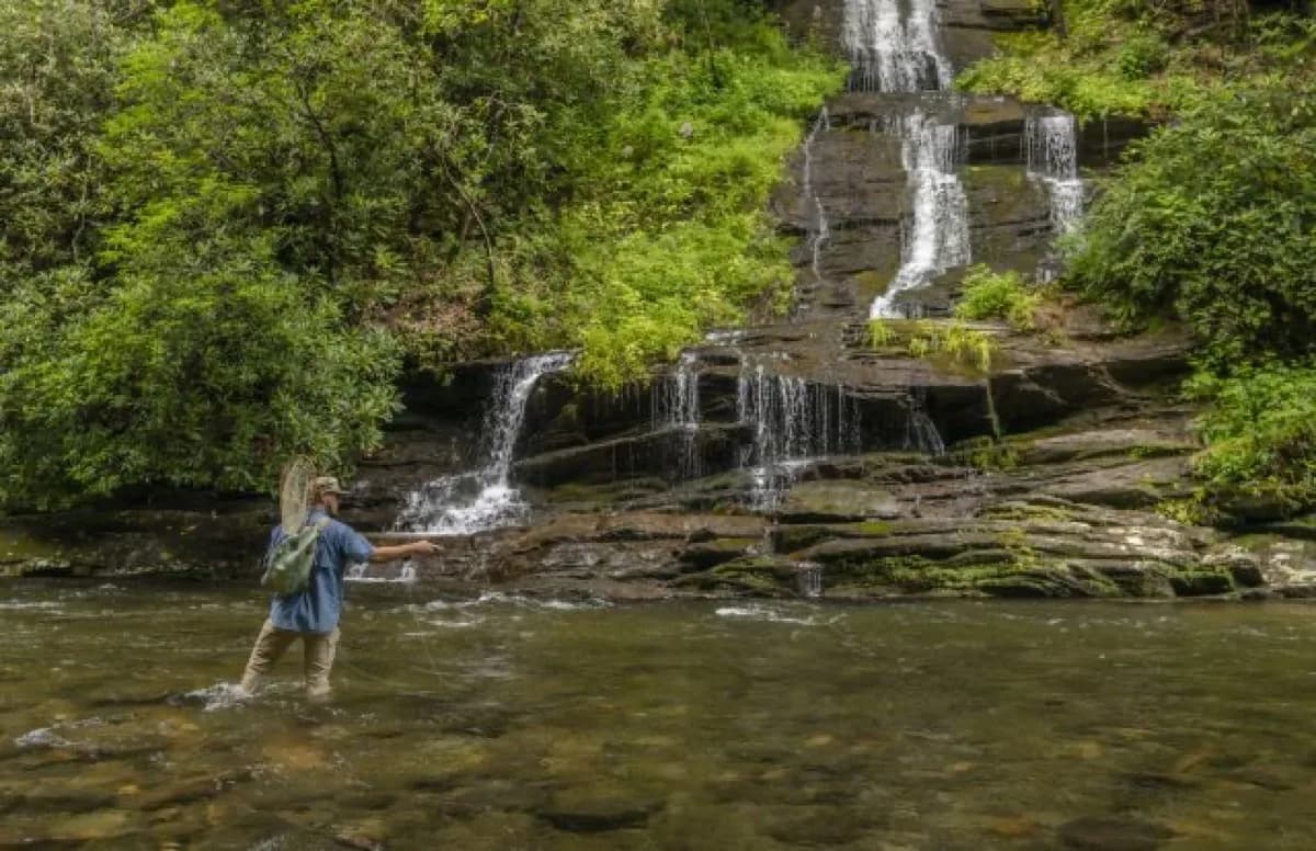
Deep Creek Trail Trailhead
The trails here run flat and wide along Deep Creek, with clear signage pointing toward Indian Creek Falls and the Sunkota Ridge loop — easy going for kids, grandparents, and anyone new to hiking. Fall turns the forest canopy gold above the water. Park a little further out and walk across the bridge for extra creek views and easier parking.
Bryson City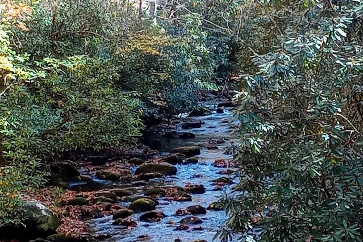
Noland Creek Trailhead
An old road bed turned trail runs alongside Noland Creek, staying wide and mostly flat for miles, with frequent spots to wade in or cast for trout. Day hikers, photographers, and backpackers heading to nearby backcountry campsites all find an easy route here, plus old house foundations around mile 4 for history buffs.
Bryson City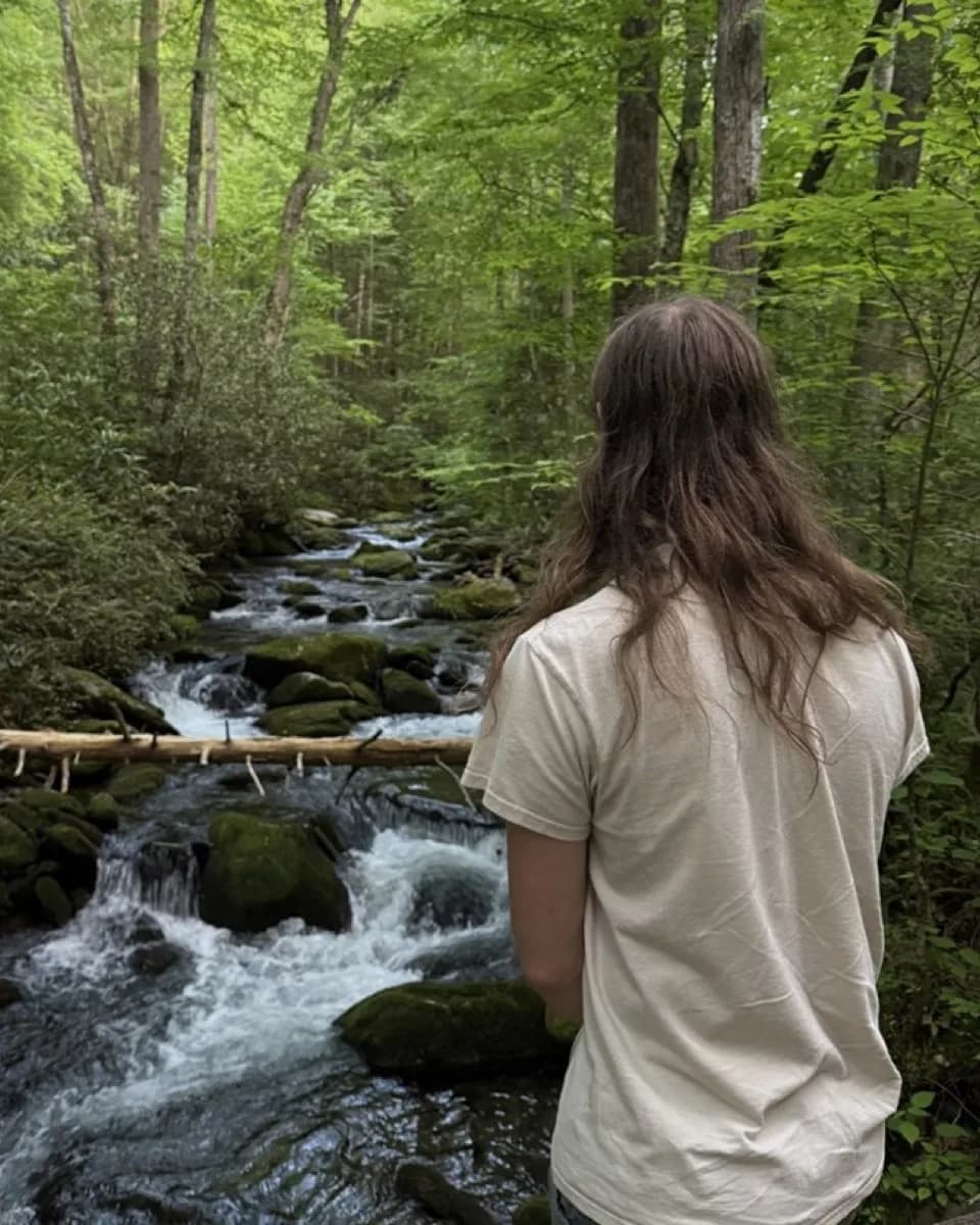
Lakeshore Trail Trailhead
A gravel road past "road closed" signs leads to the Tunnel to Nowhere, a long echoing passage noticeably cooler than the air outside. Beyond it the trail passes pre-park cemeteries and house foundations on its way toward Fontana Lake's quiet coves. Suits hikers, backpackers and photographers; no restrooms, and dogs aren't allowed.
Bryson City
Swinging Bridge Quiet Walkway Trailhead
The Deep Creek Valley overlook is the main draw here. Its wide mountain views make it a favorite stop for photos and a quick stretch. The quiet walkway itself drops steeply along a narrow path that feels like a game trail, so it suits sure-footed solo hikers and couples more than families. Dogs aren't allowed.
Bryson City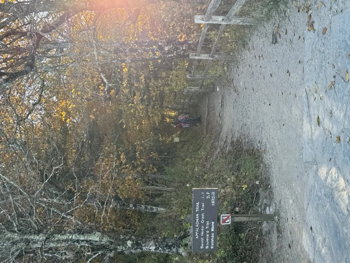
Appalachian Trail
Newfound Gap is the single road crossing on the trail's 72-mile run through Great Smoky Mountains National Park, making it the launching point for everything from 5-8 mile round trips to multi-day traverses. Rocky, root-laced tread and steep gains over short distances suit hikers who want a workout with their ridge views. Backcountry permits are required to camp inside the park.
Bryson CityFrequently Asked Questions
What are the best hiking areas in Bryson City?
Kuwohi Trailhead currently tops our ranking of hiking areas in Bryson City.
How many hiking areas are there in Bryson City?
We currently track 7 Hiking areas in Bryson City, all rated and reviewed by real visitors. Our list is updated regularly as new businesses open and reviews come in.
When is the best time to visit hiking areas in Bryson City?
The best time depends on your trip style. Peak weekends bring the most demand, while weekdays and shoulder seasons are usually easier for parking, reservations, and better lodging value.
Explore More
Ready to Plan Your Bryson City Stop?
Browse all 7 options, compare prices, read reviews, and lock in the part of the trip people usually delay too long.