
Free: A Local's Guide to the Smokies
8 lesser-known spots most visitors drive right past — Look Rock, The Sinks, Townsend tubing & more. 23-page PDF, instant download.
Best For
Hikers ready for a short, steep climb to a viewpoint • Photography enthusiasts looking for panoramic mountain scenery • Visitors seeking one of the most popular and iconic hikes in Great Smoky Mountains National Park
Website
nps.govFree: A Local's Guide to the Smokies
8 lesser-known spots most visitors drive right past — Look Rock, The Sinks, Townsend tubing & more. 23-page PDF, instant download.
Pro tip: Bring trekking poles for the long stone stairs, and turn around at the observation point. The trail past the gate to the summit is closed.
About Chimney Tops Trail Trailhead
Chimney Tops Trail starts on Newfound Gap Road (US 441), roughly 7 miles from Sugarlands Visitor Center, and is one of the most popular hikes in Great Smoky Mountains National Park. The National Park Service lists it as a 3.5-mile round trip to the Chimney Tops observation point.
The trail opens with a few bridge crossings beside the river, then climbs steeply on stone stairs, roots and rock. It is short but hard; take your time on the steps, and expect the descent to be tough on knees.
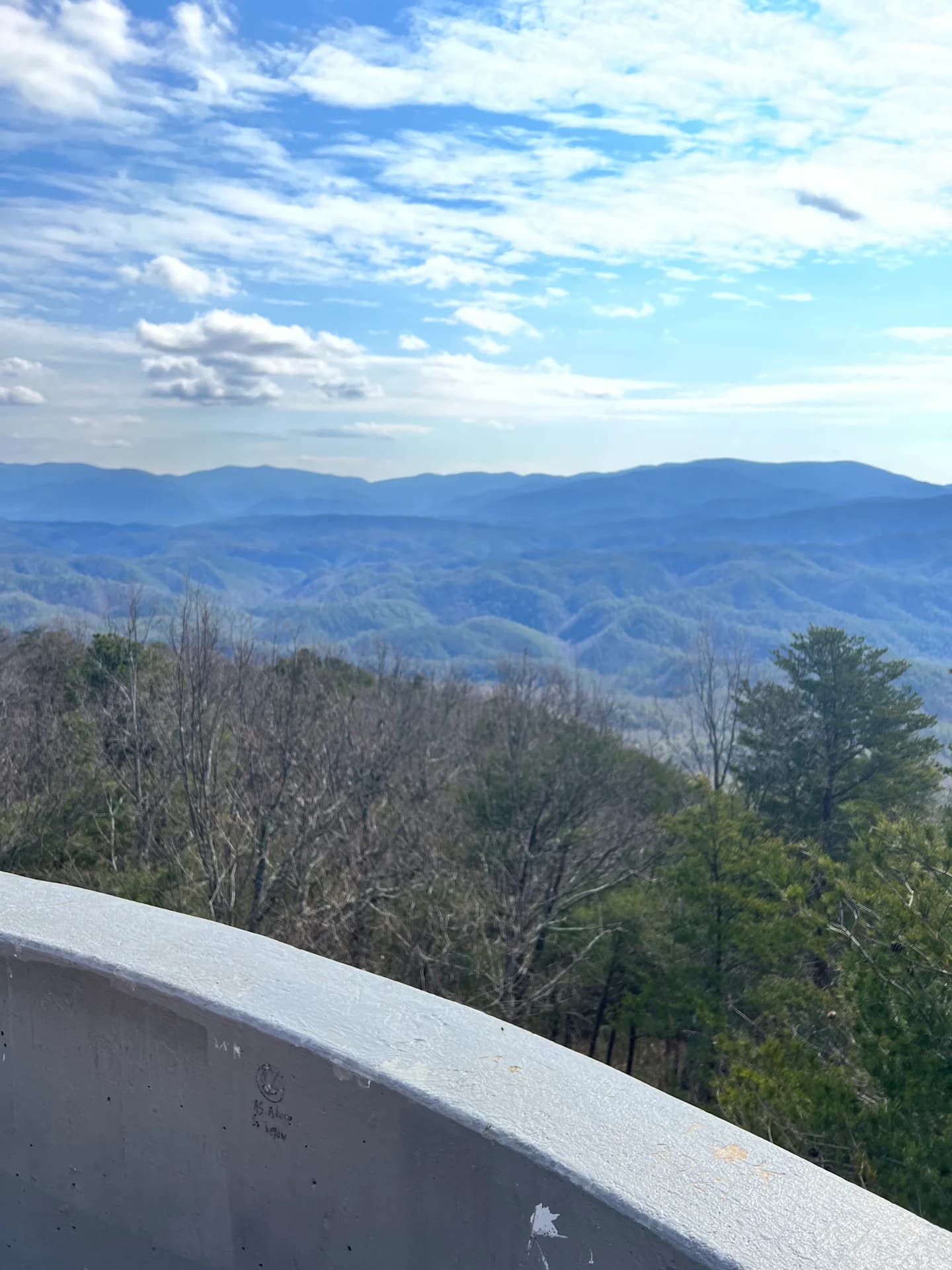
The hike ends at an observation point that looks across to the Chimney Tops pinnacles. The last quarter mile to the summit has been closed since the 2016 Chimney Tops 2 fire left the slope unstable. Stay behind the gate and the closed sign; NPS asks every hiker not to go past it.
Parking at the trailhead fills early and NPS warns of heavy crowding, so it suggests a shuttle when one is available. A Smokies parking tag is required to park for more than 15 minutes. Dogs are not allowed on this trail.
Wet rock and stairs get slippery, so good boots help, and trekking poles help on the stairs.
Amenities & Features
- Beautiful river views early on with huge boulders and small waterfalls
- Long, steep, well-maintained stairway system through consistent elevation gain
- Observation-point view of the Chimney Tops pinnacles (summit closed since 2016)
- Spectacular fall colors and atmospheric hiking in misty conditions
Visitor Rating
From 714 Google reviews.
Chimney Tops Trail Trailhead has a Visitor Rating of 4.8 out of 5 from 714 reviews.Insider Tips for Chimney Tops Trail Trailhead
Insider tips
Bring trekking poles for the long stone stairs, and turn around at the observation point. The trail past the gate to the summit is closed.
Before you go
A website is linked here for direct confirmation of current details.
Tags
Frequently Asked Questions
What are the current hours for Chimney Tops Trail Trailhead?
This listing does not have verified hours yet. Call (865) 436-1200 before driving over if timing matters.
Where is Chimney Tops Trail Trailhead located?
Chimney Tops Trail Trailhead is listed at Gatlinburg TN 37738. Use the directions button for current routing, traffic, and drive time from your lodging.
More in Gatlinburg
Nearby picks around Gatlinburg
Explore More
Plan around Gatlinburg

Explore Gatlinburg attractions

Discover top-rated spots

Top-rated hiking area in Gatlinburg
Complete Gatlinburg travel guide

Compare the two towns

Save money on your trip

Compare hotel prices

Expert travel tips