
Showing 19 top-rated hiking areas • Updated October 2026

Myrtle Point
Hikers who push 0.2 miles past Mt. LeConte reach Myrtle Point, where sweeping Smoky Mountain views and shifting cloud formations open up all around. The roughly 11-mile round trip from the Alum Cave trailhead takes 6 to 10 hours. It suits fit day hikers and sunrise photographers who are willing to start early to get parking and some quiet.
Gatlinburg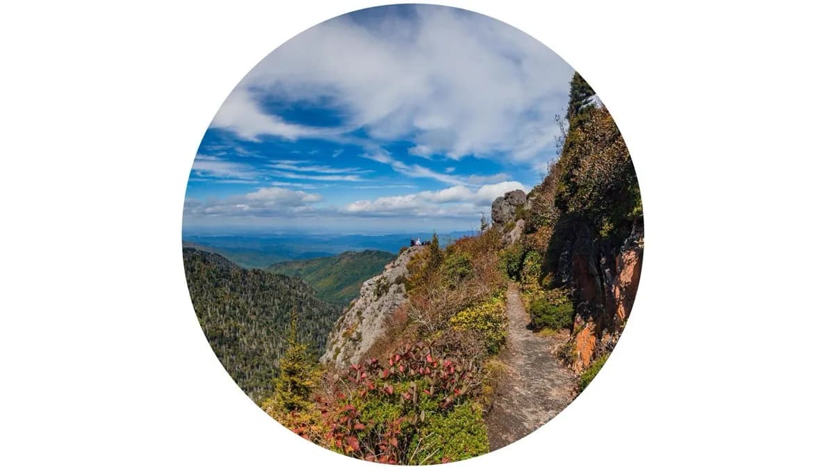
Charlies Bunion
Panoramic Smoky Mountain views from jagged rock outcroppings reward hikers at the end of this 8-mile round trip on the Appalachian Trail from Newfound Gap. The 1,800-foot climb is gradual but rocky and often muddy. It suits reasonably fit beginners, groups and nature lovers who have sturdy boots and a clear forecast.
Gatlinburg
Grotto Falls
Hikers rave about stepping right behind the 25-foot curtain of water at Grotto Falls, the payoff of a steady uphill climb on the Trillium Gap Trail that most finish round trip in 60 to 90 minutes. It suits families with kids around 10 and up, photographers after an unusual angle, and anyone wanting an approachable Smokies waterfall; arrive early, as parking fills fast.
Gatlinburg
Roaring Fork Motor Nature Trail
Black bears ambling near the roadside and the hike to Grotto Falls are what visitors talk about most on this free, one-way loop beside Roaring Fork Creek, which also passes Ely's Mill and old homestead cabins. It's a good fit for families whose kids balk at long hikes, wildlife spotters, and drivers who want mountain scenery at an unhurried pace.
Gatlinburg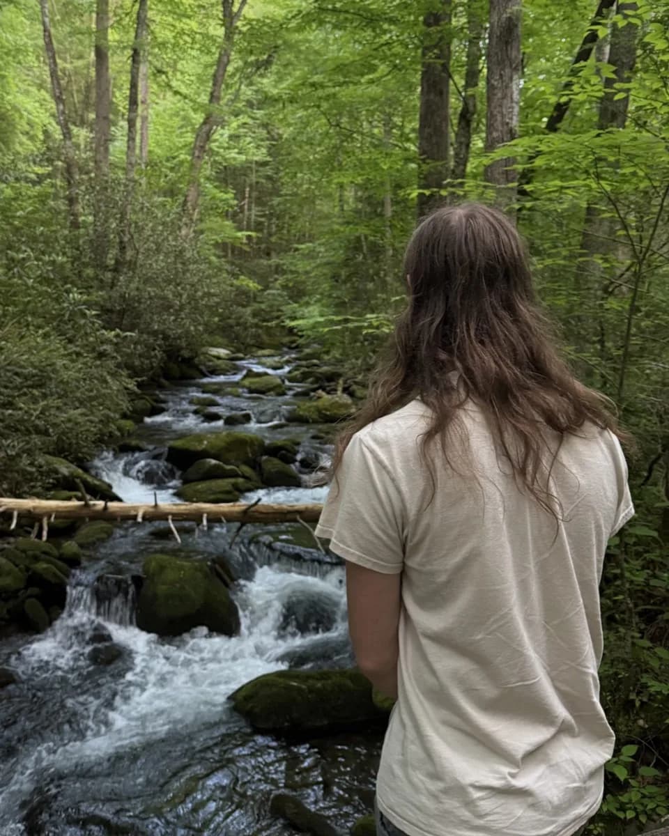
Old Sugarlands Trail Trailhead
Hikers here often go an hour without passing anyone, even with the Sugarlands Visitor Center just down the road. The wide former road grade stays level beside the West Prong Little Pigeon River for 1.5 miles, then climbs moderately toward Bullhead Branch; rhododendrons bloom by late June. Good for families drawn to the settlement history and casual hikers seeking quiet.
Gatlinburg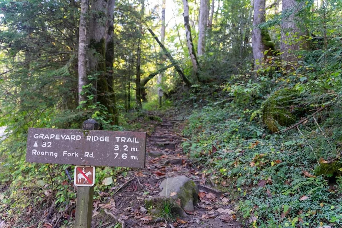
Grapeyard Ridge Trailhead
Rhododendron tunnels, shaded coves and several stream crossings line this quiet route linking Greenbrier to the Roaring Fork Motor Nature Trail, with a historic steam engine wreck along the way. It suits moderate hikers who want solitude and a bit of history. Bring waterproof boots, and expect narrow roads on the way to the trailhead.
Gatlinburg
Gatlinburg Trail Trailhead
Shady trees, riverside benches and plenty of spots to step down to the water line this level creekside path, which runs 1.9 miles one-way from downtown Gatlinburg to Sugarlands Visitor Center. It's one of the few park trails open to dogs and bikes, making it a natural fit for families, beginners and pet owners. Expect some road noise from US 441.
Gatlinburg
Cove Mountain Trail Trailhead
A flat, easy stroll from the large parking area brings you to Cataract Falls, a fairytale-like cascade that families with young kids and photographers love. Push farther up Cove Mountain Trail and the crowds thin out, rewarding fit hikers with a moderate-to-strenuous climb through quiet forest. Dogs aren't permitted on the trail.
Gatlinburg
Sugarland Valley Nature Trail Head
Visitors love that this half-mile loop is fully paved and shaded, with several spots to step down to the river to wade, fish, or hang a hammock. Old stone chimneys and benches line the route. It suits families with strollers or wagons, seniors, and anyone wanting an easy, quiet walk in the woods.
Gatlinburg
Baskins Creek Trail Trailhead
Only about three cars fit at the trailhead pullout, which is part of why this 2.7-mile route off Roaring Fork Motor Trail stays quiet while nearby Smokies paths fill up. Roughly 900 feet of rocky, root-laced descent and a few creek crossings lead to the falls, with a steady climb on the return. Best for fit hikers and couples who want solitude more than easy mileage.
Gatlinburg
Chimney Tops Trail Trailhead
Hikers start beside a rushing river with huge boulders and small waterfalls before the trail turns into a long, steep, well-built staircase of roughly 600 steps. It suits fit, experienced hikers and photographers chasing panoramic Smoky Mountain views, especially in fall color; trekking poles help on slick, muddy sections.
Gatlinburg
Alum cave
Steel cables and steps carved into stone get you through Arch Rock, and from there the views keep opening up all the way to the towering Alum Cave bluff. It suits hikers ready for a steady climb, stream crossings, and a genuine workout, and it doubles as a turnaround point or halfway rest on the push to Mt. LeConte. Parking fills by 7am, so start early.
Gatlinburg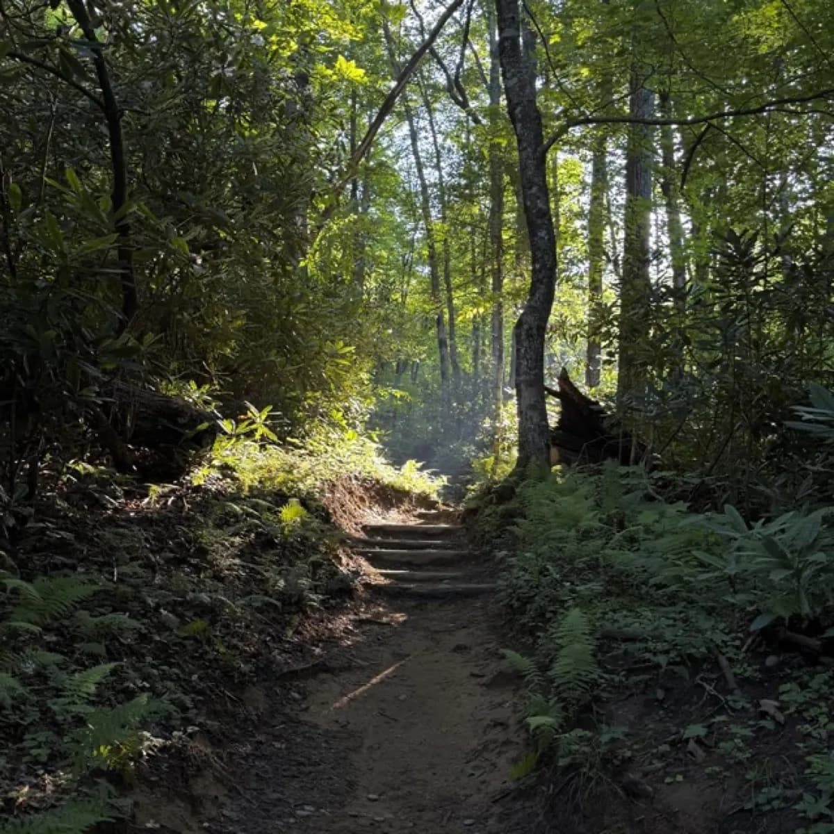
Bullhead Quiet Walkway
Visitors reach the riverbank in under 10 minutes from the trailhead parking, then settle onto the rocks to picnic or simply watch the water. Beyond that, the path stays wild and lightly maintained, with occasional deer sightings. It suits families wanting an easy outing, couples, and anyone after quiet close to town.
Gatlinburg
Cove Hardwood Nature Trail Trailhead
April brings carpets of wildflowers spilling down the hillside along this 0.75-mile lollipop loop, which passes huge old-growth trees, colorful fungi, and small streams. Though it sits beside the busy Chimneys Picnic Area, the trail often feels empty. It suits nature lovers and photographers ready for slippery rocks and some climbing.
Gatlinburg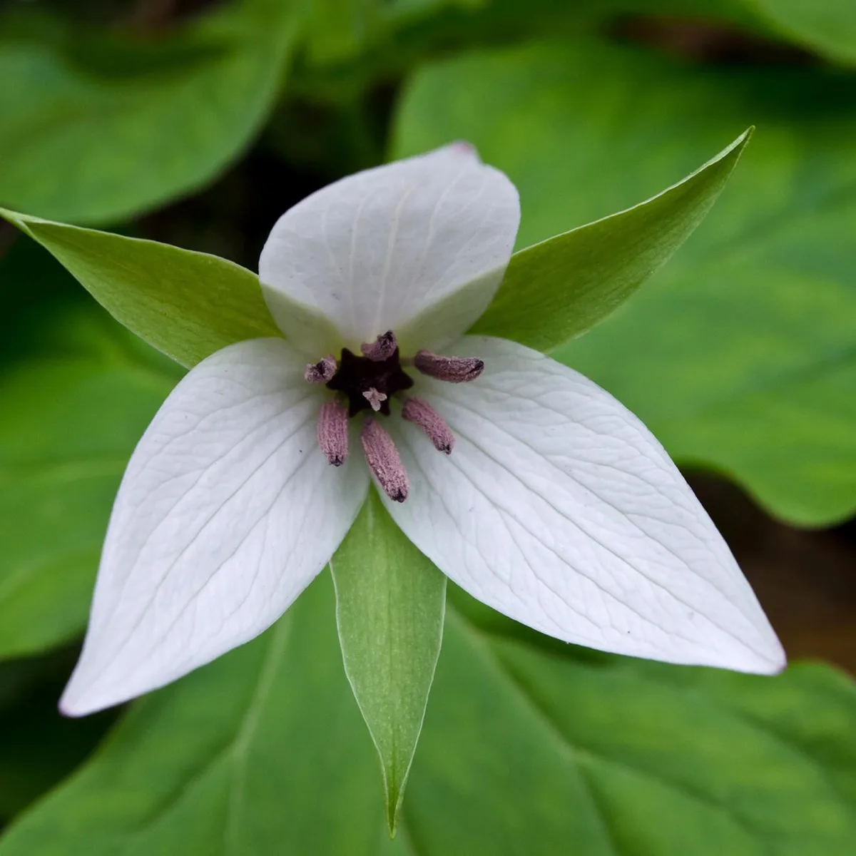
Trillium Gap Trail Trailhead
Grotto Falls, the only waterfall in the Smokies you can walk behind, is the big draw at this Roaring Fork trailhead. The easy 2.6-mile round trip suits families, while seasoned hikers can push on to Brushy Mountain or the 14-mile Mount LeConte climb that pack llamas use. Arrive early, since parking is very limited.
Gatlinburg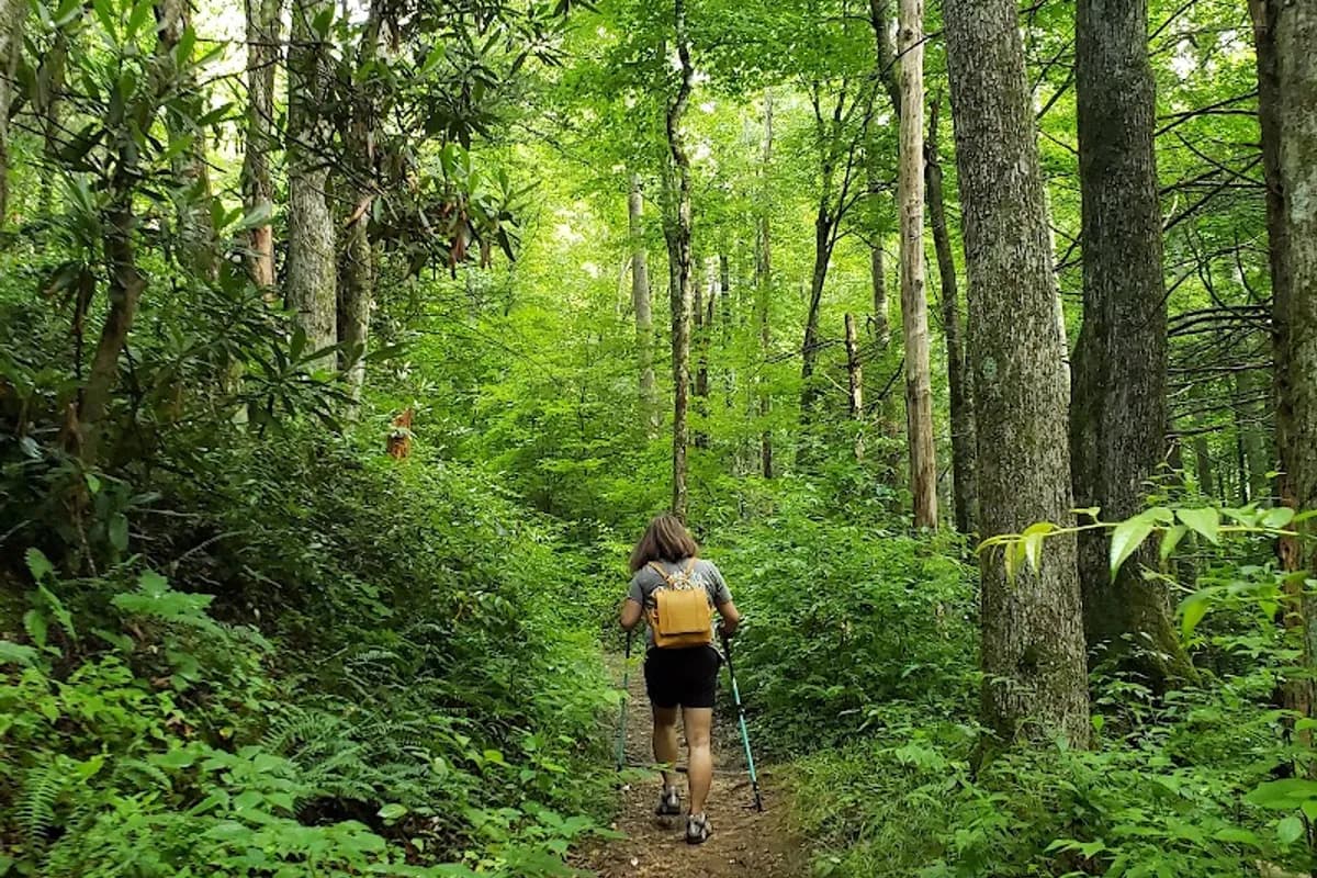
Graveyard Ridge Trail Trailhead
A coal-fired train engine that rolled off the hillside into Engine Creek is the big draw here, about a mile from the Greenbrier end of this 7.6-mile trail to the Roaring Fork Motor Nature Trail. Expect rhododendron tunnels, slippery creek crossings, and a real chance of spotting bears. It suits moderate-level hikers, history fans, and anyone after quiet woods.
Gatlinburg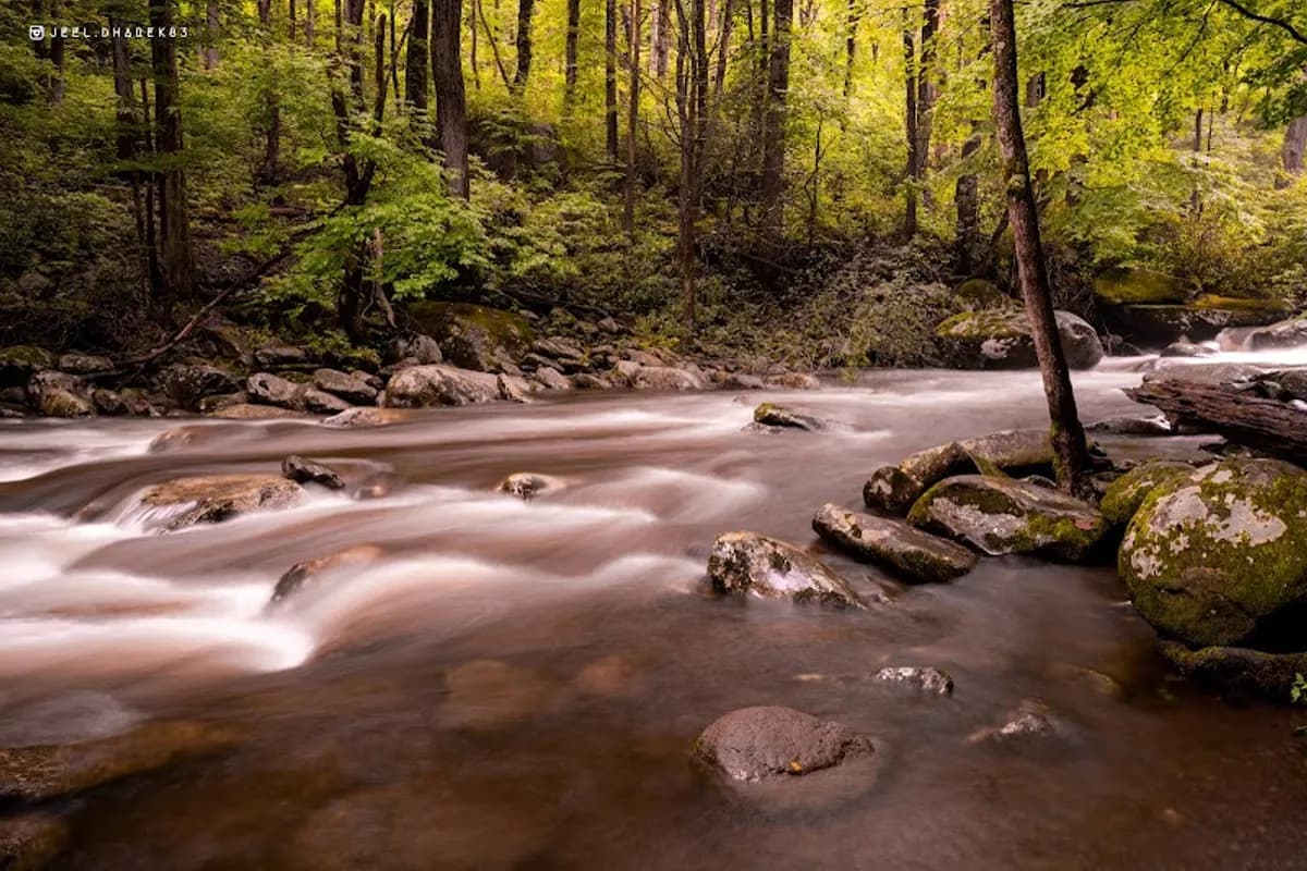
Balsam Point Quiet Walkway Trailhead
Huge riverside boulders sit only a couple of minutes' walk below Newfound Gap Road, reached by a short but genuinely steep descent from the pullout. Its 4.6-star rating across 51 reviews leans on the quiet: you hear water instead of crowds. Good for families, casual walkers and anyone after a picnic or wading spot without committing to a long hike.
Gatlinburg
Huskey Gap Trailhead
Many hikers turn around at the stream crossing about 1.25 miles in, so the trail goes quiet past that point. In spring you'll find trilliums, dwarf crested irises and loud birdsong. Expect a steady climb of about 1,270 feet over 4.2 miles round trip. It suits moderate hikers, birders and wildflower fans. Arrive early because the lot holds only about six cars.
Gatlinburg
Grotto Falls Parking
A waterfall you can actually walk behind, with cool water to dip your feet in, waits at the end of a mostly flat 1.6-mile trail off the Roaring Fork Motor Nature Trail. It suits families with kids, casual hikers and photographers, but the trailhead lot holds only about 15 cars, so grab a parking pass at the visitor center and arrive by daybreak.
GatlinburgFrequently Asked Questions
What are the best hiking areas in Gatlinburg?
Myrtle Point currently tops our ranking of hiking areas in Gatlinburg.
How many hiking areas are there in Gatlinburg?
We currently track 19 Hiking areas in Gatlinburg, all rated and reviewed by real visitors. Our list is updated regularly as new businesses open and reviews come in.
When is the best time to visit hiking areas in Gatlinburg?
The best time depends on your trip style. Peak weekends bring the most demand, while weekdays and shoulder seasons are usually easier for parking, reservations, and better lodging value.
Explore More
Ready to Plan Your Gatlinburg Stop?
Browse all 19 options, compare prices, read reviews, and lock in the part of the trip people usually delay too long.