Free: A Local's Guide to the Smokies
8 lesser-known spots most visitors drive right past — Look Rock, The Sinks, Townsend tubing & more. 23-page PDF, instant download.
Best For
Scenic road trip enthusiasts and photography lovers • Hikers and outdoor adventure seekers • Couples and families seeking nature-based vacation experiences
Website
blueridgeparkway.orgMenu
View menuFree: A Local's Guide to the Smokies
8 lesser-known spots most visitors drive right past — Look Rock, The Sinks, Townsend tubing & more. 23-page PDF, instant download.
Pro tip: Start from Asheville and drive north toward Cherokee as tunnels support higher clearance in that direction; allow 5 days for a leisurely pace rather than rushing the 469-mile route
About Blue Ridge Parkway - South End
<p>Starting at the historic town of Cherokee, NC, the southern terminus of the Blue Ridge Parkway marks the beginning of a 469-mile scenic byway through the Appalachian Highlands. This route offers immediate access to mountain views, abundant wildlife, and forest landscapes.</p>
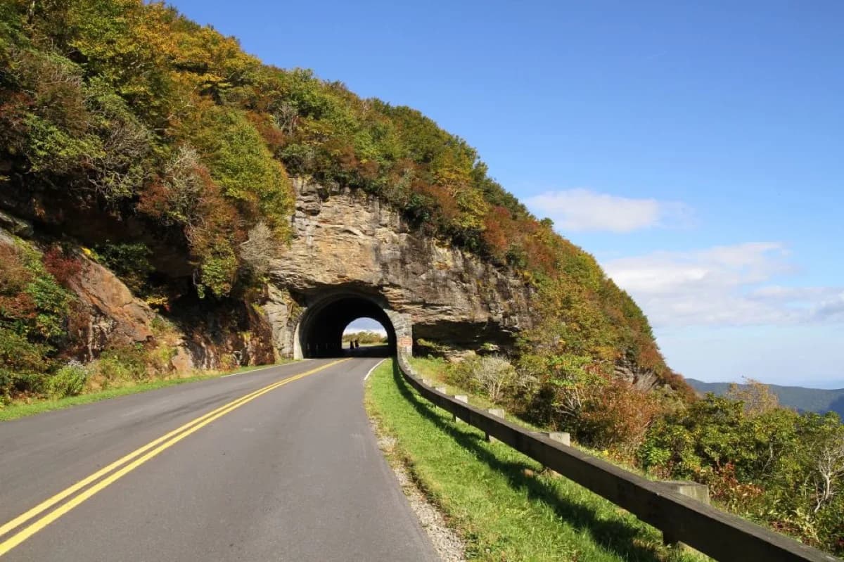
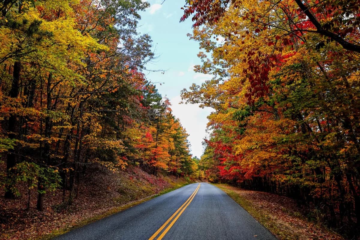
<p>The South End section features numerous pull-offs and overlooks for photographing the Blue Ridge Mountains or spotting local wildlife like white-tailed deer and wild turkeys. During fall (peak colors typically mid-October), the mountainsides transform into vibrant displays of red, orange, and gold foliage that attract photographers and nature enthusiasts.</p>
<p>This section of the Parkway maintains a steady elevation between 2,000 and 6,000 feet, providing comfortable driving conditions and clear views year-round, weather permitting. The road is well-maintained and free to access 24/7, though certain sections may close during winter weather events. Visitors should check the <a href="https://www.nps.gov/blri/index.htm">National Park Service website</a> or call the Parkway information line for current road conditions before traveling.</p>
<p>Popular stops near the South End include <strong>Waterrock Knob</strong> (offering sunset views and moderate hiking trails), <strong>Richland Balsam Overlook</strong> (the highest point on the Parkway at 6,053 feet), and several access points to the <strong>Mountains-to-Sea Trail</strong>. Pack a picnic, bring your camera, and plan to spend at least half a day exploring this section. The moderate speed limit (45 mph maximum) encourages leisurely travel, allowing you to fully appreciate the natural beauty of the southern Appalachians.</p>
Amenities & Features
- Spectacular fall colors, with mid-October considered peak viewing time
- Beautiful waterfalls and creeks accessible along the route
- Historic stops including Mabry Mill and Humpback Rocks
- Peaceful, empty roads perfect for a relaxing drive
Insider Tips for Blue Ridge Parkway - South End
Insider tips
Visitors most often point to Stunning scenic mountain views and layered mountain vistas throughout the drive, Hundreds of scenic viewpoints, picnic spots, and hiking trails of varying difficulty levels, and Beautiful overlooks comparable to national parks like Shenandoah and Great Smoky Mountains. Start from Asheville and drive north toward Cherokee as tunnels support higher clearance in that direction; allow 5 days for a leisurely pace rather than rushing the 469-mile route.
Before you go
A website is linked here for direct confirmation of current details.
Best Times to Visit Blue Ridge Parkway - South End
Visit during weekday mornings for the calmest experience.
Tags
Frequently Asked Questions
What are the current hours for Blue Ridge Parkway - South End?
This listing does not have verified hours yet. Call (828) 348-3400 before driving over if timing matters.
Where is Blue Ridge Parkway - South End located?
Blue Ridge Parkway - South End is listed at 20 US-19 Cherokee NC 28719. Use the directions button for current routing, traffic, and drive time from your lodging.
How long should I plan to spend?
Most visitors spend 1-3 hours at Blue Ridge Parkway - South End. Allow extra time during peak seasons.
More in Cherokee
Nearby picks around Cherokee



Explore More